Are You Ready for Some Tropical Action? Are you ready for some football...I know I am.

Look at that image from Mike's Weather Page up above.... that says.
Lights! Cameras! Action!
Seems we are ready for some tropical tracking this week
Let's start at the very beginning... it's a very good place to start..

The NHC is back to systems over water and so I'm back to blogging.
No...seriously I was on vacation and am home now and looping the loops & doing my thing.
It's pretty far away right now, but the lead system that is battling dry air has chances that are fair.
The one further away has lower chances & also came off the coast lower than usual.

(smile & the world smiles with you...
laugh and you laugh alone....
was a great phone
just smile....)
Note how far away it is from the East Coast let alone the islands of the Caribbean.

Note the yellow X is the new system off of Africa
The blue is about where the last system was
Note there is no X by the SC or GA but the rain remains
The yellow shaded X that came off Africa most recently has high chance of forming.
It's also a large, big gyre sort of system with a large pocket.
Euro not in love with it just yet.
GFS loves it.
Will these two models ever see eye to eye?
Will we ever see an eye of a hurricane again???
https://www.youtube.com/watch?v=1GAaWz4X4nU
My musical comment on this new wave that the models like...
Of course they can't figure out what it's going to do just yet...
but early on this is a storm the Carolinas need to watch..
South Florida IF it stays weak & stays further south before curving back...
Will it curve out to sea in time with the next cold front or will the high that builds in push it west?

Do we know where it's going to?
Reminds me of this song that always haunted me back when the movie came out...
https://www.youtube.com/watch?v=c3uatcJqt54
Funny how a young, white Jewish girl would so identify with her in this movie? Not really, but oddly I started a novel around 1974 and never finished it that had a theme so similar it's scary. But, music and Hollywood magic are the great unifiers of our culture. Music is color blind ... We all move and groove to the music and music makes the bad times better and the good times sometimes haunted by the past and the roads we did not travel.
What roads will Edouard follow? The one that goes WNW silly...
Seems one way or the other we will have Edouard on the tracking maps later this week.

(loop it...go on...enjoy...you know you want to...)
http://moe.met.fsu.edu/cgi-bin/gfstc2.cgi?time=2014090706&field=Sea+Level+Pressure&hour=Animation
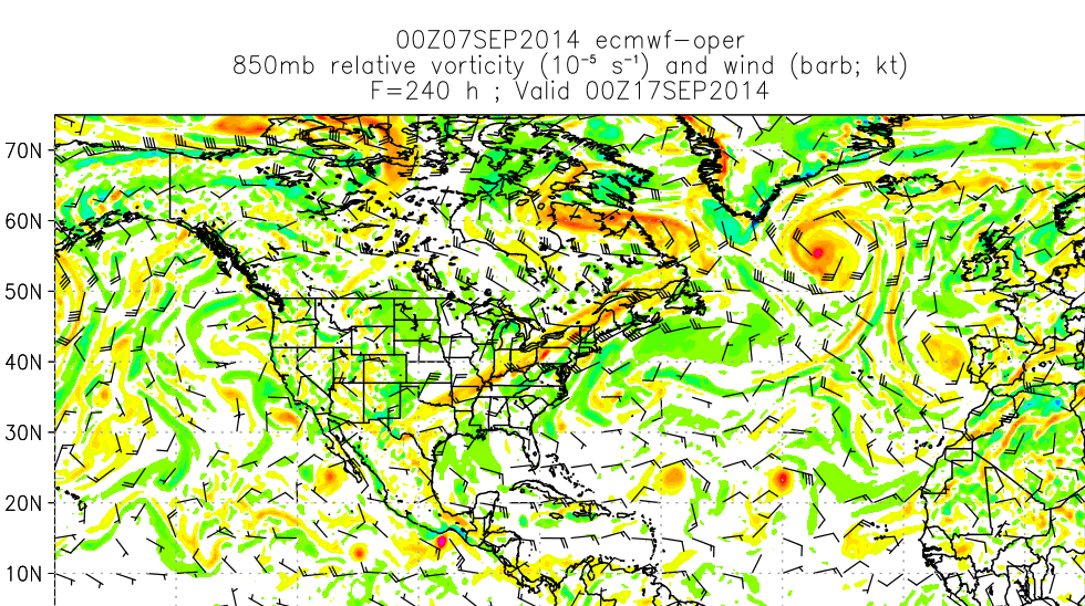
Another view of these systems is 850 vorticity.. it's another view... there are so many models and views of models... layers upon layers but I'm staying here with the most beloved models.
Yup... one way or another we will have Edouard to deal with later this week.
If not... something is broken and we may seen snow before we see a hurricane :(
Nah... but we will be seeing strong cold fronts very soon. They are good... they take storms away and yet if a storm comes in under the ridge that builds after he cold front passes it's not so good. If a storm stays weak and south and gets into the Caribbean it can be pulled NE with a dipping down cold front. I am concerned this will be a problem this year for South Florida as we have early fronts while tropicals waves are still battling dry air west.
Note the strength of the next cold front that is going to usher out any remnants of denial that it's still summer along the East Coast. Yes Virginia Winter is coming sooner rather than later as you can tell from the yellow maple leaves falling to the ground like dead butterflies.... Sorry, but true as I'm lying here watching them fall from the neighbor's tree... down, down... down.....to the ground.

What do I think? I think it's a watch and wait set up and unless the models are broken we will have a system to track but...what kind of system? Will it be a Fish swimming fast out to sea? Or will the fish turn back to land and it was a red herring sort of fake fish? Will it stay low once the dry air chokes it off from it's moisture supply? Will it being large and low help keep it connected to moisture and allow it to stay with the more southerly models in the long term?
Watch the moisture feed below in motion. Nice roll on the lead (blocking) wave despite the dry air and nice roll starting on the newest larger wave that desires to go for long yardage.

Another beautiful view of the models. I cut it so that you can see the link... they do a great job!

Hey... I like it. I like any wave right now that the models notice.
Heck.. I stare at rain drops falling from the sky
But, yes the models notice.
My problem is how does this wave make it past the dry air barrier in the Atlantic ...
that ate the first wave...
No this is not a poem..
but I'm in a poetic mood today
happens when the sky is gray
like today....
One thing that is a for certain is football. Watching Carolina play Tampa Bay today and wondering who to root for and if I care even? As long as I can see it on the TV...watch it... listen to it...
God I love football! Even if I'm not sure which team to root for... I know Mike will be rooting for Tampa Bay that's a given... I guess time will tell how much of a Florida girl I still am while living up here in North Carolina. And...yeah I know the Fins are playing as well...

Lastly............the system off of the East Coast is still kicking up the weather even if the models have turned their back on it in favor of the new waves off of Africa.

On the East Coast there is still rain lingering today across the beaches of the Carolinas. The area is waiting to be picked up and pulled away by the approaching system. Note there is another approaching system that will NOT be stationary later in the week. It's easy to write this off as a no show when it comes to tropical formation but I'd wait a day or so before the coast is clear. Messed up my plans for lunch in Morehead City... anyway. Hey hey.. I can go next week too right?
So, that's it from me for now.
I had a really nice vacation both in NY and on the way back. Spent some time in a little town called Colonial Beach along the Potomac River. Never walked in the river before as if it was the ocean. Hey, I'm from South Beach I expect a beach to have seashells and palm trees but it was beautiful. A nice side trip on our way back to Carolina. Nice really... must have been beautiful at the turn of the century when people in VA, Maryland and DC had a harder time getting to the ocean... am sure there had their share of hurricanes. Hazel.. Irene... probably several of those colonial hurricanes that helped change the course of the war..
http://www.colonial-beach-virginia-attractions.com/history-colonial-beach.html
Hard to imagine waves there as it was so placid.
https://www.youtube.com/watch?v=FTGHov9_eOE
Nice video from Hurricane Irene.. turn the sound up you can hear the rain, the wind and the waves.
I'm back...
Besos Bobbi
Ps... It's just a matter of time...........
https://www.youtube.com/watch?v=ED_fdLv9paE
posted by BobbiStorm @ 8:33 AM
![]()


0 Comments:
Post a Comment
<< Home